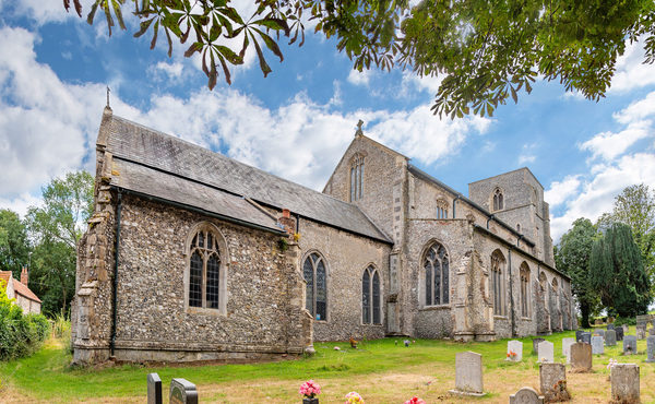
Bloodgate Hill is one of at least six earthwork forts in Norfolk which date to the Iron Age (c. 700 BC–AD 43). Some of these sites survive as standing monuments today, the one at South Creake having been largely flattened by centuries of ploughing, and by demolition in the 19th century. Traces of the fort remain, however, and the site occupies a fine hilltop position with views across the Burn Valley and of the sea to the north.
Two interpretation panels explain the site. Seven hectares in and around the fort were purchased by the Norfolk Archaeological Trust in 2003 and then taken out of cultivation and sown with grass. Survey work and excavation by the Trust in 2004 revealed much new information about the monument.
The Iron Age was an era of important and exciting developments, both in the way of life and in the development of the landscape. With the new iron tools and improved farming methods, the population increased and farming expanded onto areas with poorer soils that had not been cultivated before. In the 700 years before the Romans' arrival, the county was transformed. Yet these may also have been turbulent times, with intensifying competition for farmland and other resources. Earthwork fortifications appeared all over Britain, and not just in Norfolk. Iron Age ‘warfare’ was not necessarily like that of more recent times, and may have involved stock raiding and kidnapping and other small scale events. However, the building of forts indicates a heightened sense of competition and threat.
Forts such as that at South Creake could have been used as ‘bolt-holes’ and refuges in difficult times. They could also, however, have been important as assembly places, religious and ceremonial arenas and market places. In an era of unrest and community rivalry, it may also have been important for them to look impressive. Whatever their purpose, their construction involved massive labour, with ditches up to 4m deep and with banks of a similar height inside. Excavation at Warham Camp has shown that wooden palisades and walkways stood on top of the banks there, creating a formidable fortification.
The fort at Bloodgate Hill was almost circular, and was defined by a bank and ditch. The ditch was over 200m in diameter and enclosed an area of 3.5 hectares. The bank that stood immediately inside it had been almost completely flattened, but a small excavation in its north-eastern part showed that the ditch had been over 4m deep. It is interesting that the ditch and bank seem to have been much more imposing on the eastern side of the fort, where there is also evidence for a great entrance with a ‘barbican’-like protective earthwork. Two much less significant openings across the ditch are visible on its opposite western side. Perhaps the eastern side of the fort was intended to look imposing. There are signs that the eastern quarter of the interior was separated from the rest by a pair of rather irregular fences or palisades, recorded during geophysical survey. Perhaps this was a formal or ceremonial arena of some kind, with the other three quarters of the fort interior given over to more ‘everyday’ activities and accessed from the plainer eastern entrances.
After the Trust's excavation, fieldwalking and geophysical survey, we can be confident that there was no heavily populated settlement within the fort. Rather, it may have been a special place that was maintained and frequently visited by communities who lived round about. There are indications of pits, and possibly a building of some kind, within the inner ring-ditch. Perhaps this was the residence of an important person or family, or maybe it was used for burial. It is even possible that this inner ring is actually all that remains of a much earlier round barrow (burial mound) dating to the Later Neolithic or the Early Bronze Age (c. 2500–1500 BC), which was carefully built into the Iron Age monument 1000 years later or more. Even after study by the Trust, many important questions about Bloodgate Hill remain unanswered.