King's Lynn Caravan & Camping Park

Combined Shape Created with Sketch.
King's Lynn Caravan & Camping Park

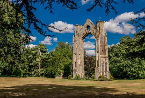
Set in approximately ten acres of beautiful mature parkland, the site is situated on the edge of the village of North Runcton, one mile from the Hardwick roundabout where the A47, A10, A149 and A17 meet.

Situated in a prime position for touring Norfolk and the Fens, which are both areas of outstanding natural beauty, it is also the nearest campsite to the historic port and market town of Kings Lynn.

Fishing, golf, riding, bowling and clay pigeon shooting are a few of the sports available locally. Stock car and speedway meets are held just over three miles away at the Norfolk Arena.

Nearby attractions include the UK's biggest beer warehouse, quaint villages built of local flint, the Norfolk coastline, RSPB and many nature reserves, numerous National Trust and English Heritage properties, local markets, historic buildings and beautiful scenery. For the children, there is the Sea life centre, Rare breeds farm as well as the seaside.
Site Information
Opening Times:
Visit the website for more information.
Telephone:
Website:
Address:
Parkside House, New Rd, North Runcton, King's Lynn, E33 0QR, Norfolk
Nearby Trails
Nar Valley Way, Setchey and Shouldham Warren walk
route-icon
1.79 Miles Away
A diverse walk through the countryside of the Fens and Brecks, visiting Setchey, Pentney Abbey, Shoudlham Warren and Wormegay along the way
View Trail
King's Lynn Walsingham Way
Explore beyond West Norfolk
route-icon
2.31 Miles Away
An historic 29-mile King’s Lynn to Walsingham pilgrim trail will soon be officially launched.
View Trail
Fen Rivers Way from Denver Sluice to King's Lynn
route-icon
2.38 Miles Away
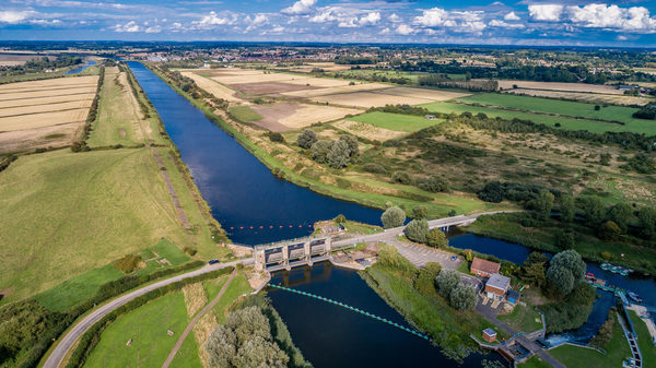
The Fen Rivers Way runs for nearly 50 miles between the historic settlements of King’s Lynn and Cambridge. The distance between King’s Lynn and Denver Sluice is 14 miles, tracing the course of rivers that drain slowly across the Fens into the Wash. The distinctive fenland landscape has been heavily influenced by man, its fertile agricultural land dissected by dykes, rivers and embankments, constructed over centuries in the struggle to reclaim the land. The area is dominated by dramatic open landscapes and vast skies.
View Trail
Leziate Walk
route-icon
2.52 Miles Away
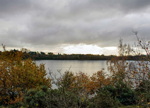
This peaceful route passes between the sleepy villages of Leziate and Ashwicken, where a history of industrial sand extraction has left the area with a series of artificial lakes. What it may lack in facilities the walk more than makes up for in rural charm.
View Trail
Shouldham Warren walk
route-icon
3.53 Miles Away
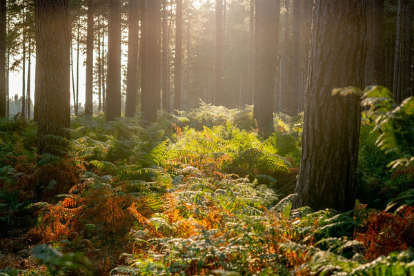
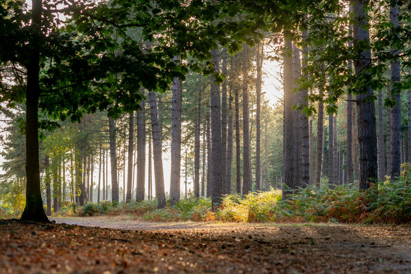
Shouldham Warren is a fascinating environment where the Brecks merges with the Fens. Beyond the tall pine forest lies the open expanse of the Fens and the valley of the River Nar demonstrating the abrupt change from one natural area to another.
View Trail
Group 3Created with Sketch. new arrowCreated with Sketch. Group 2Created with Sketch. new arrowCreated with Sketch. safetyCreated with Sketch. Group 7Created with Sketch. Combined ShapeCreated with Sketch.blue arrowCreated with Sketch. finishCreated with Sketch. F map pinCreated with Sketch. NO IMAGE AVAILABLE startCreated with Sketch. S