Branodunum Fort

Combined Shape Created with Sketch.

Branodunum is one of the eleven forts along the South and East coasts of England known as Saxon Shore Forts. The Romans built these forts during the 3rd century. At first they were used to protect and control shipping and trade around the coast; later they helped repel raiders from across the North Sea. They remained military garrisons for over 150 years before being abandoned when the Roman army withdrew from Britain.

Branodunum Fort

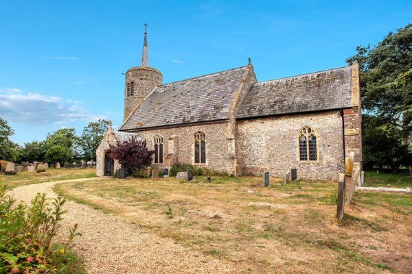
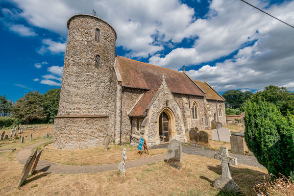
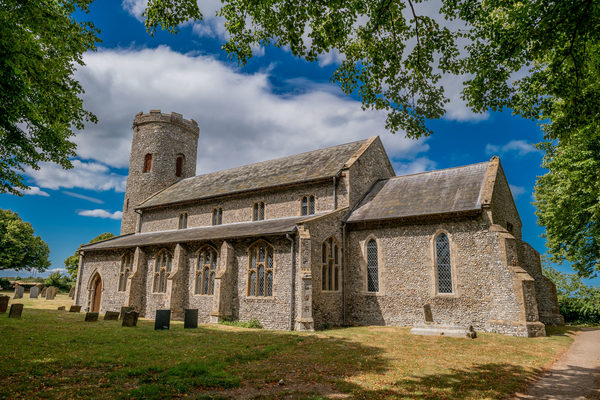
Branodunum was the name of an ancient Roman fort to the east of the modern English village of Brancaster in Norfolk.

The fort, built in the 230s, became later part of the Saxon Shore fortification system. It was built to guard the Wash approaches and is of a typical rectangular castrum layout.

According to the National Trust notice boards present on the site of the fort, the fort is within a rectangular field to the east of the current village of Brancaster; there is no urban development on the fort's site itself. Urban residential development in the 1970s has covered much of the area to the west of the fort where part of the local 'vicus' was situated.

In Roman times, the fort's northern wall lay directly on the seashore, which served as a harbour. Since then, the shoreline has receded, and the fort now lies inland. The fort was of a rectangular shape with rounded corners, with a 10 ft (3.0 m) wide wall with internal turrets at the corners and backed by an earthen rampart, which increased the wall's strength and gave easy access to the battlements. In front of the wall there was a V-shaped single ditch. The wall thus enclosed an area of 2.56 ha. In typical castrum fashion, the fort had four gates, one on each side. Aerial survey has revealed the existence of several buildings in the fort's interior, including the principia. A civilian settlement (vicus) existed on the eastern and northern sides of the fort, which has been dated to the 2nd century AD. Its size would make it one of the largest settlements in the territory of the Iceni tribe. Because the streets of the settlement are not aligned with the layout of the fort, it has been hypothesised that an earlier fort, built of timber, existed at the site, possibly from as early as the revolt of Queen Boudicca in the mid-1st century AD. The walls still stood up to 12 feet (3.7 metres) tall in the seventeenth century, but robbing of materials during following century’s means, that only the site and the earthworks now remain.

Site Information
Opening Times:
All times
Website:
Address:
Branodunum Fort, PE31 8XD, Norfolk
Nearby Attractions
Attraction 1:
Brancaster Beach
route-icon
0.83 Miles Away
Brancaster beach with its wide expanse of golden sands is perfect for Summer sandcastles or Winter wanders, even on the busiest of days there is room to find your own space and get lost in its tranquil calm.
View Venue
Attraction 2:
Church of St Mary the Virgin, Titchwell
route-icon
1.16 Miles Away
That there was a church at Titchwell at the end of the eleventh century is evidenced by Domesday, and much of the existing building dates from about that time. The tower is an interesting example of the many East Anglian eleventh century round towers.
View Venue
Attraction 3:
St. Mary's Church, Burnham Deepdale
route-icon
1.47 Miles Away
This little church in its coastal village deserves fame for its three outstanding features - it is Saxon round tower (pre-Conquest of 1066), its Norman font, and its collection of medieval glass.
View Venue
Attraction 4:
Titchwell Marsh
route-icon
1.84 Miles Away
Located on the north coast of Norfolk, between the villages of Titchwell and Thornham, Titchwell Marsh is blessed with diverse habitats that include reedbeds, saltmarsh and freshwater lagoons where avocets, bearded tits and marsh harriers nest. There is also a wide sandy beach here, which offers extensive views across The Wash.
View Venue
Attraction 5:
Church of St Margaret, Burnham Norton
route-icon
3.46 Miles Away
The Saxon round tower was built at the beginning of the first millennium, the church was extended in the 13th century, with later improvements in the 15th. It has a commanding view of the sea half a mile away. St Margaret's stands within its own burial ground; on the other side of the north bank of this is the burial area for the rest of Burnham Market.
View Venue
Group 3Created with Sketch. new arrowCreated with Sketch. Group 2Created with Sketch. new arrowCreated with Sketch. safetyCreated with Sketch. Group 7Created with Sketch. Combined ShapeCreated with Sketch.blue arrowCreated with Sketch. finishCreated with Sketch. F map pinCreated with Sketch. NO IMAGE AVAILABLE startCreated with Sketch. S