The Chequers

Combined Shape Created with Sketch.
The Chequers

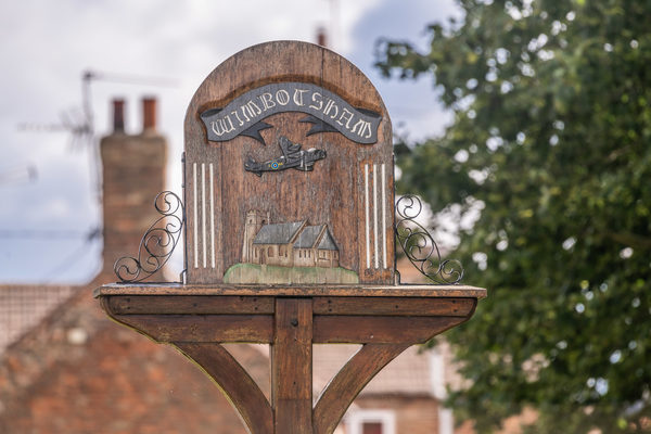
The Chequers is a traditional English pub set in the heart of the picturesque village of Wimbotsham, overlooking the village green.

Kim and David Coombes, who are originally from London, have been licensees of the pub since 2013. Since then, this family-run pub, dating back to the 17th century, has undergone renovations that have maintained its original characterful features.

The Chequers is the perfect place for a relaxing drink. We serve a number of local ales and have an excellent Cask Marque rating. You can also enjoy hearty home cooked food at our pub. The menu offering is extensive, including our comforting pub classics made from locally sourced ingredients.

Kim and David are proud of their friendly hospitality, offered to all who visit the pub. Newly paved flooring in the front of the pub provides the perfect spot for drinking and dining in the warm summer weather. There is additional parking to the rear of the building.

Site Information
Opening Times:
Bar: Mon - Thurs, 12:00pm - 3:00pm and 5:00pm - 9:00pm. Fri - Sun, 12:00pm - 6:00pm and 6:00pm - 10:00pm. Kitchen: Mon and Tues, 12:00pm - 2:00pm and 5:30pm - 7:00pm. Wed - Sat, 12:00pm - 2:00pm and 6:00pm - 8:30pm. Sunday 12:00pm - 3:00pm.
Telephone:
Website:
Address:
7 Church Road, Wimbotsham, King's Lynn, PE34 3QG, Norfolk
Nearby Trails
Wimbotsham walk
route-icon
0.06 Miles Away
Stride out along quiet, tree-lined tracks from the peaceful village of Wimbotsham. A very pleasant and uplifting walk
View Trail
Wimbotsham walk FRW
route-icon
0.06 Miles Away
Stride out along quiet, tree-lined tracks from the peaceful village of Wimbotsham. A very pleasant and uplifting walk
View Trail
Bridle Lane, Rabbit Lane Walk
route-icon
0.54 Miles Away
This route provides a great opportunity for an easy walk surrounded by fields, giving a wonderful sense of open space. The St Edmund’s churchyard and cemetery site is largely neutral grassland (both mown and unmown) with some scrub area. Grassland species found here include sheep’s sorrel, creeping buttercup and common mouse-ear. Common bird’s-foot trefoil, tufted vetch and lady's bedstraw can also be found in the unmown area of grassland. St Edmund’s Church is seen on your left as you approach Cannon Square from Rabbit Lane, the church having Norman origins.
View Trail
Cock Drove walk
route-icon
0.73 Miles Away
The range of soft, grassy and tree-lined paths cleverly designed in to this predominantly built-up environment makes this an ideal door-step walk. Paradise Road was named so as it is thought that the Town Gallows were sited here and that it was the closest that the poor souls who were about to suffer this fate would get to paradise before passing on. Cannon Square takes its name from the ancient cannon that was kept in front of Cannon House at the Northern end of the High Street. Two smaller cannons were also kept by the front door of the Castle Hotel.
View Trail
Howdale/Rabbit Lane walk
route-icon
0.89 Miles Away
This is a pleasant, easy route starting from The Howdale, one of Downham Market’s popular open green spaces. The Roman Catholic Church of St. Dominic a little further down Howdale Road at The Towers is unusual in that it was created out of a former stables and coach house. The Towers used to be the location of a great house that was once the dwelling of James Scott who donated the Town Clock to Downham Market. There was also a hospital and residential home on this site until it caught fire in 1966.
View Trail
Group 3Created with Sketch. new arrowCreated with Sketch. Group 2Created with Sketch. new arrowCreated with Sketch. safetyCreated with Sketch. Group 7Created with Sketch. Combined ShapeCreated with Sketch.blue arrowCreated with Sketch. finishCreated with Sketch. F map pinCreated with Sketch. NO IMAGE AVAILABLE startCreated with Sketch. S