The Kings Head Country Hotel
A very warm welcome to the family-run Kings Head Country Hotel. Built in the Edwardian era, the hotel combines all the traditional warmth and comfort of a long established country house hotel with sleek contemporary facilities. The hotel is located close to the great estates of Royal Sandringham and Houghton, both very well worth a visit. We are also well situated for people wanting to visit the ever popular market towns of King’s Lynn and Fakenham.
Site Information
Telephone:
Email:
Website:
Address:
Great Bircham, King's Lynn, PE31 6RJ, Norfolk
Gallery
Nearby Trails
Docking Explorer Cycling Loop
0.15 Miles Away
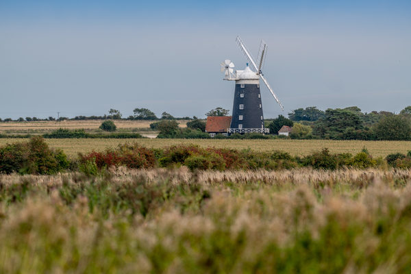
A 'get away from it all' explorer loop taking you from bustling Burnham Market deep into the Norfolk countryside. Through Stanhoe with its idyllic village pond, alongside Houghton Hall with the white fallow deer herd and then the iconic working Bircham Windmill. A country ride with fine views and the occasional challenging undulation along the way.
View Trail
Ingoldisthorpe Explorer Cycling Loop
0.15 Miles Away
Expect some fine views along pretty lanes with this easy and delightful ride passing through pretty villages and alongside Houghton Hall with its white fallow deer herd.
View Trail
Bircham Cycle Route
0.49 Miles Away
The route takes in quiet lanes and tracks across a landscape of low chalk hills which afford glorious coastal views. This Bircham route is ideal for families.
View Trail
Sandringham to Bircham Cycling: Off-road Rides
0.51 Miles Away
This route takes you from Sandringham to explore a network of long, straight, off-road farm tracks through a quiet, open, arable landscape and link the settlements of Bircham Newton, Great Bircham and Bircham Tofts
View Trail
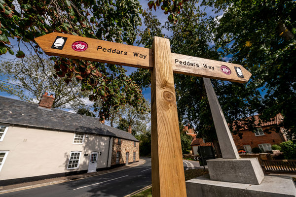
Peddars Way
Explore beyond West Norfolk
0.64 Miles Away
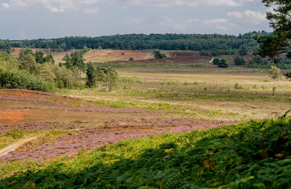
The Peddars Way is a long distance footpath in Norfolk, England. It is 46 miles long and follows the route of a Roman road. It has been suggested by more than one writer that it was not created by the Romans but was an ancient trackway, a branch or extension of the Icknield Way, used and remodelled by the Romans. The name is said to be derived from the Latin pedester – on foot. It is first mentioned on a map of 1587 AD. It starts at Knettishall Heath in Suffolk (near the Norfolk-Suffolk border, about 7 km or 4 mi east of Thetford), and links with the Norfolk Coast Path at Holme-next-the-Sea.
View Trail