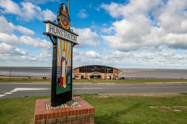
Hunstanton Tourist Information Point
The Hunstanton Tourist Information Point is situated in the popular Alive Oasis Leisure Centre, itself standing on the central promenade facing the famous Hunstanton beach.
The Tourist Information Point contains a wide variety of visitor and venue information.
Site Information
Opening Times:
Please visit the website for more information
Website:
Address:
Alive Oasis, Central Promenade, Hunstanton, PE36 5BD, Norfolk
Gallery
Nearby Trails
Hunstanton to Ringstead Cycling: Off-road Rides
0.01 Miles Away
This route takes you over the hills which overlook Hunstanton, Holme-next-the-Sea and Heacham using quiet green lanes and farm tracks which wind through a quiet, open, landscape. The 16 mile route is challenging due to the rough nature of the off-road sections. Allow approximately 4 hours to complete the ride. Approximately 35% is off-road, on a mix of byways and unclassified roads with soft surfaces which are easy to cycle along during dry and dusty summer months, but which become more challenging after periods of rain. The route requires either mountain or hybrid cycles.
View Trail
Hunstanton Circular Route
0.28 Miles Away
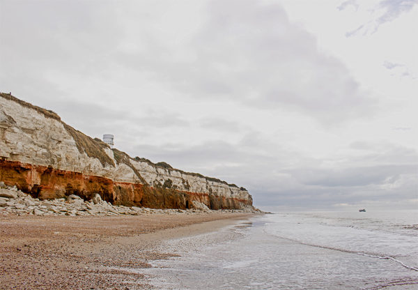
Linked by a series of clifftop greens and gardens, this circular route combines the hubbub of Hunstanton and the relative quiet of its much older neighbour, Old Hunstanton. The two settlements offer a truly wide variety of options for food and drink, to suit all tastes and budgets.
This Hunstanton circular walk is not signposted on the ground, but it easy to follow with a map. It leads from Le Strange’s statue at Upper Green, along North Promenade, up toward the cliffs. It then follows the route of the Norfolk Coast Path, past the ruin of St. Edmunds Chapel and Hunstanton Lighthouse. Coming through Old Hunstanton it visits St. Mary’s Church before returning to Hunstanton via the Esplanade Gardens.
View Trail
Heacham Circular Walk
0.42 Miles Away
A short and very accessible route, the Heacham circular often provides sparkling views across the Wash. On clear days ‘Boston Stump’, the tower of St Botolph’s Church in Lincolnshire, can be seen. As well as a long and interesting history, you’ll also find great fish and chips at Heacham.
View Trail
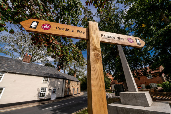
Peddars Way
Explore beyond West Norfolk
2.11 Miles Away
The Peddars Way is a long distance footpath in Norfolk, England. It is 46 miles long and follows the route of a Roman road. It has been suggested by more than one writer that it was not created by the Romans but was an ancient trackway, a branch or extension of the Icknield Way, used and remodelled by the Romans. The name is said to be derived from the Latin pedester – on foot. It is first mentioned on a map of 1587 AD. It starts at Knettishall Heath in Suffolk (near the Norfolk-Suffolk border, about 7 km or 4 mi east of Thetford), and links with the Norfolk Coast Path at Holme-next-the-Sea.
View Trail
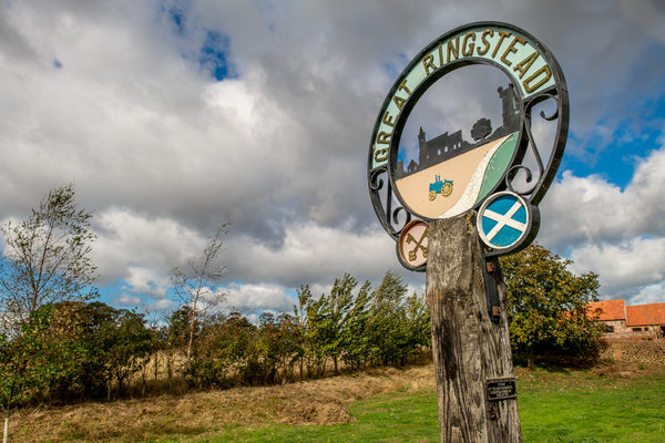
Peddars Way, Ringstead walk
2.11 Miles Away
An enjoyable walk across undulating countryside, passing Courtyard Farm, home of conservationist and peer Lord Melchett. Look for the village stocks that can still be seen in the car park of the Gin Trap pub
View Trail